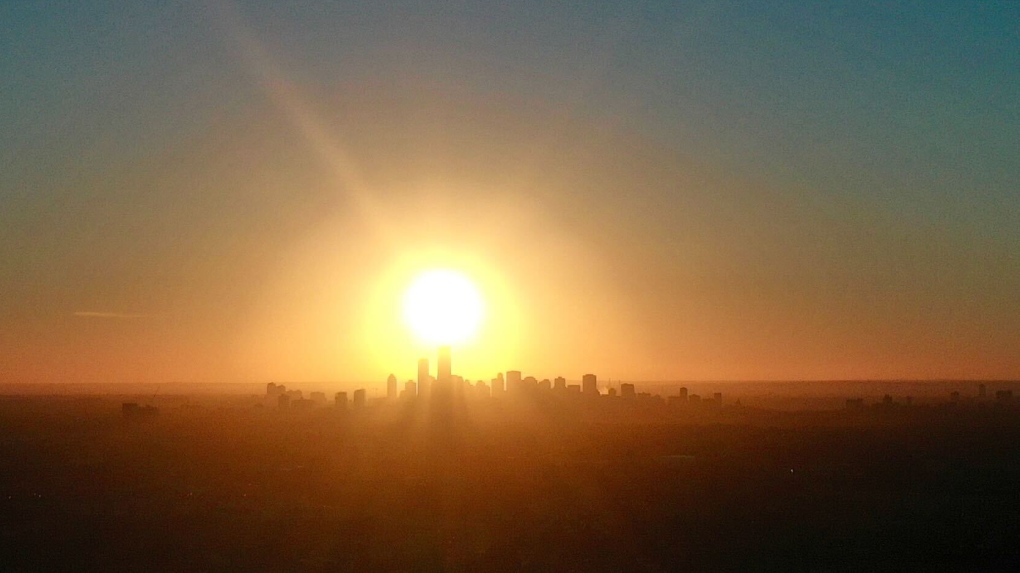
The heat’s coming back.
AND…last week’s heat streak could end up being just the “warm up act” for the main event.
I’m not convinced we’ll top 35 C again over this coming heat wave, but the duration of 30+ days will certainly be longer, possibly even double last week’s.
Edmonton had five straight days above 29 C and three straight days above 30.
If the city hits 30 on Tuesday, we could get EIGHT consecutive days of 30+ (six at the very least).
Once the heat sets in, it won’t break until Wednesday or Thursday of next week at the earliest.
As for today, we have some clouds and a few scattered light showers moving through parts of NW and north-central AB.
Edmonton and area will get grazed by a few of those showers (most will stay north of the city).
Clouds should start to break a bit this afternoon. Temperatures will top out in the mid-20s again.
This “break” from the heat as still been rather warm. (right around average)
We hit highs of 25 Saturday and 24 Sunday. So…only last day in with a mid-20s high before the heat takes over.
ONE LAST THING:
We’ll be closer to record highs than average highs right through the duration of the heat wave.
Here are the best chances for new record highs:
Friday, July 19
Forecast: 33
Record: 33.3 – 1979
Sunday, July 21
Forecast: 33
Record: 32.8 – 1945
Monday, July 22
Forecast: 34
Record: 34.5 – 2006
Tuesday, July 23
Forecast: 33
Record: 33.4 – 2006
Here’s the forecast for Edmonton and area:
Today – Mostly cloudy with a few showers this morning. Sunny breaks this afternoon.
High: 26
Tonight – Partly cloudy.
9pm: 24
Tuesday – A few morning clouds, then Mainly sunny.
RECORD: 32.8 – 1941
Morning Low: 18
Afternoon High: 30
Wednesday – Sunny.
RECORD: 33.9 – 1920
Morning Low: 19
Afternoon High: 32
Thursday – Sunny.
RECORD: 34.4 – 1941
Morning Low: 19
Afternoon High: 33
Friday – Partly cloudy.
RECORD: 33.3 – 1979
Morning Low: 20
Afternoon High: 33
Saturday – Mainly sunny.
RECORD: 33.9 – 1936
Morning Low: 18
Afternoon High: 31