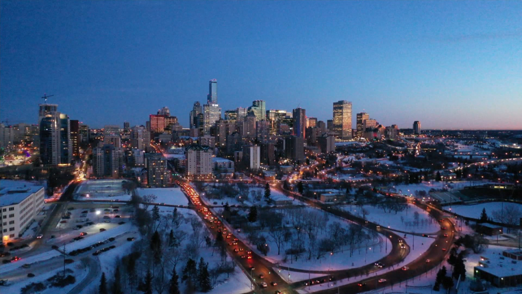
The snow came and went, but the cold air is sticking around for at least one more week.
Backyard snowfall measurements from around the region indicate roughly 15 to 20 centimetres of snow hit the city over the weekend.
Officially, Environment and Climate Change Canada measured 19 cm at Blatchford and 9 cm at Edmonton International Airport.
One of the hardest-hit areas was Wainwright, with around 30 cm of snowfall over the weekend.
You can find the full list of snowfall totals from Environment and Climate Change Canada here.
As for temperatures, Edmonton hit highs of -10 C and -13 C over the weekend and we’ll be in the same ballpark for a high today.
Keep in mind: The average high for Nov. 25-30 in Edmonton is -2 C.
It’s a LOT colder in northwest Alberta this morning with temperatures around -30 C in the Peace Country and High Level region.
Some of those spots might not get above -20 C this afternoon.
We ARE expecting some milder air to move into western Alberta on Tuesday, but the question remains: How far north and east will that milder air stretch?
I don’t think we’ll see much more than a small warm-up in NW Alberta and even here in the Edmonton region, I’m doubtful that we’ll get a significant bump in temperature.
A lot will depend on what happens with sky conditions. IF we get some clearing overnight, we could drop to the -20 C range.
If the low stratus cloud hangs around, we may hold steady at around -15 C overnight.
Either way, the warmest temperatures Tuesday might not come through until the early evening hours.
I think it’s likely that we’ll be around -12 C in the afternoon and then possibly up to -8 C or -9 C early in the evening.
Regardless, of whether we DO actually get to single digits Tuesday, it won’t last.
Colder air settles over most of the province for Wednesday-Friday and daytime highs will likely be in the -11 C to -16 C range in Edmonton.
Mornings should be in the -16 C to -20 C range.
The end of the week also brings another chance of some snow. At this point, it looks like flurries or light snow, though…not a repeat of this past weekend.
Here’s the forecast for Edmonton and area:
Today – Cloudy with a 40% chance of scattered flurries this morning. Sunny breaks this afternoon.
High: -12
Tonight – Mostly cloudy.
9 p.m.: -15
2 a.m.: -20
Tuesday – Morning clouds. Clearing in the afternoon.
7 a.m.: -15
4 p.m.: -12
8 p.m.: -9
Wednesday – Mix of sun & cloud.
Morning Low: -15
Afternoon High: -12
Thursday – Mostly cloudy. 30% chance of flurries.
Morning Low: -19
Afternoon High: -14
Friday – Mostly cloudy. 60% chance of flurries.
Morning Low: -17
Afternoon High: -15
Saturday – Mix of sun & cloud.
Morning Low: -19
Afternoon High: -10