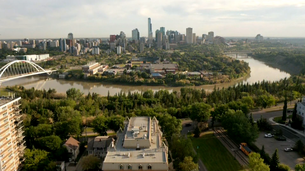
Sunshine, slightly above-average temperatures, not much wind AND it’ll last for several days.
The Upper Low that produced some “unsettled” conditions across much of the province over the past few days has moved off to the east. We’re not getting a big, strong upper ridge to replace it. In fact, it’ll remain a little “cool” aloft.
That said – we’re not expecting any significant cloudcover or precipitation in the the Edmonton region or across most of central and north-central Alberta through the next few days.
There’s a chance of some scattered showers and thunderstorms in the foothills and southwestern AB later today & again Friday. But, the Edmonton region should be dry until the early to middle part of next week.
Daytime highs will continue to slowly climb in the coming days. We’re into the 22 to 25 degree range for afternoon highs today and Friday.
Morning lows should be in the 12/13 degree range Fri/Sat/Sun.
Saturday afternoon hits the 24 to 26 degree range and Sun/Mon/Tue will likely be up in the 25 to 29 degree range.
A thin haze of high-level wildfire smoke may be evident (especially at sunrise/sunset) in the coming days. Low-level area quality readings should remain in the low risk range (possibly increasing to “moderate risk” for part of Friday).
Bottom line: no real indication of returning to the SUPER-SMOKY conditions we had earlier in Edmonton earlier this week.
There’s also not much of a significant shower/thunderstorm risk until the early or middle part of next week.
Here’s the forecast for Edmonton and area:
Today – Mainly sunny.
High: 23
Tonight – Clear.
9pm: 20
Friday – Mainly sunny.
Morning Low: 12
Afternoon High: 24
Saturday – Mainly sunny.
Morning Low: 12
Afternoon High: 25
Sunday – Mainly sunny.
Morning Low: 13
Afternoon High: 27
Monday – Partly cloudy. Slight risk of a late-day shower or thunderstorm.
Morning Low: 15
Afternoon High: 27
Tuesday – Mix of sun & cloud.
Morning Low: 15
Afternoon High: 27